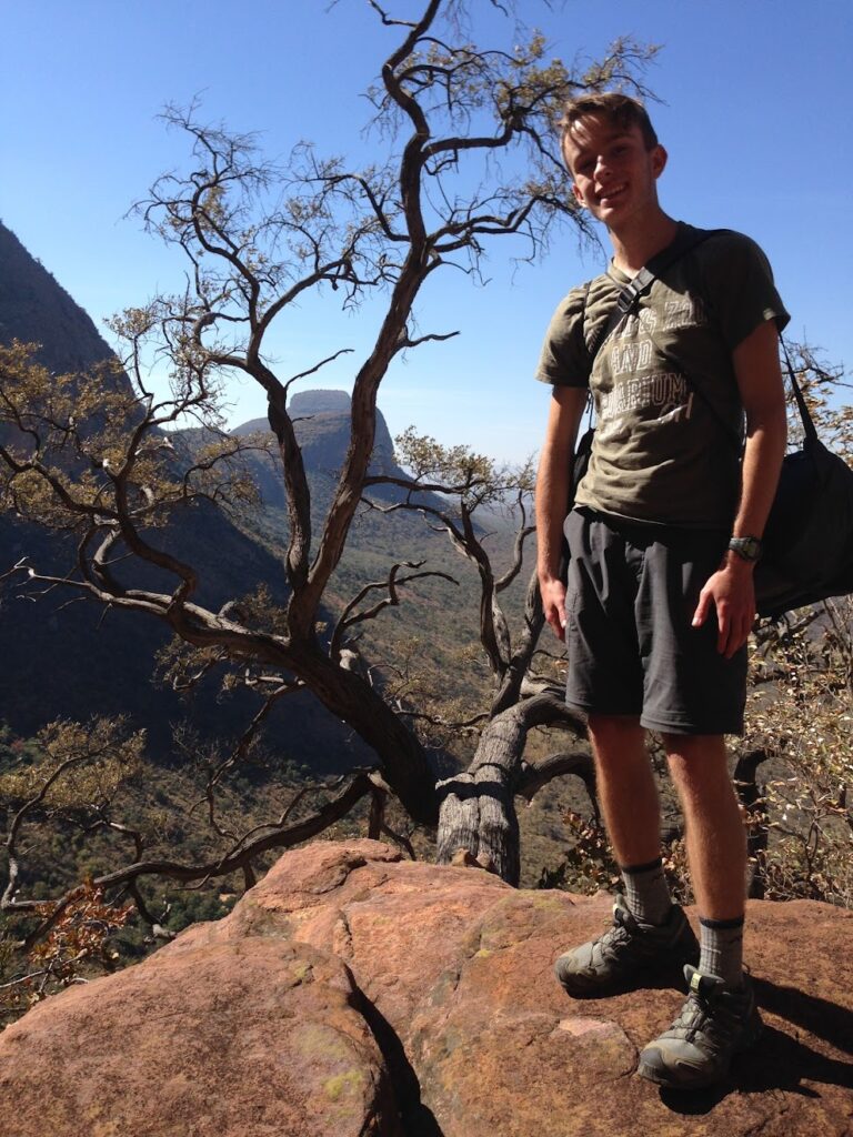
The following blog post is created by a Hopkinton/Bow High School student from New Hampshire, who is on program with Original Wisdom, partnering with Nature Guide Training, on a 3-week South African Ecology & Culture program at Djuma Game reserve in the Sabi Sands region of the Greater Kruger Area (July 2015). In addition to exposure to ecology and culture, we have sponsored a local South African student on scholarship for the entire program (see Blog 3# Interview with Mhlavasi) and will attend 2 days at Mhlavasi’s school, Acorns to Oaks, where our students interact with the local students and help to teach them some basic skills in spatial thinking and use of Geographic Information Systems (GIS) to create online maps and stories with a spatial component. Our overall goals include facilitating connections with self, others, and the natural world.
Michelle Neal
July 5th and 7th, 2015
Days 4 and 6
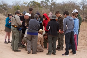
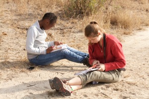
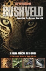
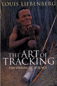
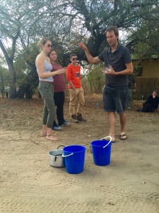
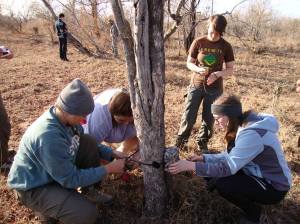
On these days we learned about track and sign identification and interpretation. During these lessons, the trackers (Lee, Diana, and Kersey) circle “questions” on the ground or indicate some nearby marking on a tree or shrub. We use Lee’s book, The Bushveld, and our own deductive reasoning to try to figure out what we are looking at. Once we have come to a conclusion and given our answers, the trackers reveal the answers and explain, for example, why this track is a nyala and not a kudu or impala – thus we learn the correct answer as well as the characteristics of two or three other species’ tracks or sign. Scott and Kersey have described tracking as the original expression of the scientific method, because we come up with a hypothesis and then attempt to support or refute it; they have also described it as art because tracks are often beautiful and tell a story. A more detailed description of these concepts can be found in Louis Liebenberg’s book, The Art of Tracking, The Origin of Science. Our group expressed their concerns regarding the incoming evaluation, asking questions on the format and requirements. This evaluation will determine our skill level in track and sign identification and interpretation, where achieving a 70-79% is a Level 1, an 80-89% is a Level 2, a 90-99 is a Level 3, and a 100% is a Level 4 or “Professional” and an invitation to a much more difficult Specialist Evaluation: Lee and Kersey are Specialists and Evaluators in Africa, Diana is a Level 4, and Scott and Acima are Level 3. Our goal: Level One. It’s a good start to a great hobby and a useful skill in identifying what lives and moves around us, even when we don’t see the animal!
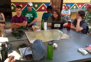
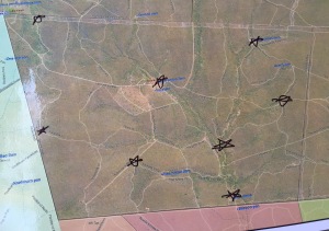
Between tracking sessions, our group was asked to start thinking and discussing a hypothesis to guide our research during this trip. We have trail cameras that are triggered by motion and will be placing them out in the reserve to gather data. We were also visited by Mike Grover, the former Ecologist from Sabi Sand and now the director of his own company, Activating Africa. Mike gave us access to a laptop that the international, big-cat-research team, Panthera, collects data on carnivores here in the Sabi Sands, and talked to us about his important work in the communities and the difference that spatial thinking and geographic information systems (GIS) have made on his life and career in ecology. We are going to record all of our carnivore sightings for Panthera, even if we don’t choose to use their historical data in our research. It is interesting to see the home ranges of the different lion prides and the individual leopards over the years displayed in the GIS that Mike developed for Panthera, if nothing else.
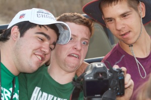
Developing our hypothesis has been relatively brutal, to say the least. With a wide collection of extremely diverse and abstract minds, agreements are rare. We talked about a number of ideas and agreed on nothing, yet. Personally, I don’t usually fair too well with group activities, and this has been an exceptional challenge. The conversations have lasted for great lengths of time, and have often been frustrating and counterproductive, but we are learning that developing good questions takes time and discussion, and we are learning about what we each find interesting and important through these interactions, and we still manage to like each other in the end. Finally, after a fourth (or was it fifth?) round of discussions, we’ve come to a tentative final outline for the project. Our question: What are the differences in diurnal (day) animals’ versus nocturnal (night) animals’ activity in high vs low populated areas? Our hypothesis: In highly populated areas, animals will behave differently during the day than at night, where such differences could include a modification of behaviors to be more active at a different time of day to avoid confrontations.
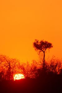
These days have been intense and we all find ourselves exhausted at the end. Thankfully, the intensity is broken up with glorious sunrises and sunsets, and sightings of intriguing animals. At the end of the day we are able to smile and laugh with each other while we gather around the campfire for our meals and hot chocolate, journaling our experiences and waiting for the excitement that the next day will bring.
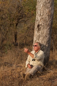
Charles Perakis is a retired family doctor who is one of the adult particpatnts on this program. He is also a tracker in the USA, and his age is eclipsed by his wisdom. He prefers to be called by the name, “Pothos.” The following tidbit is an example of his humor and wisdom:
Dr. Pothos’ Vocab Extraordinaire! Negative Capability: “The ability to live in mystery and doubt without the obsessive searching for fact and reason.” Example: An animal track presents itself with little significant evidence, making it difficult to classify. Instead of obsessing over it, desperate for a concrete answer, negative capability must be applied so that the track can be appreciated in a poetic sense rather than a mathematical one.
Edited by Kersey Lawrence
